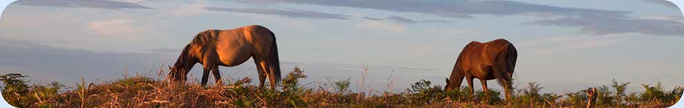
Map of the New Forest and surrounding area
Use the facilities provided here to access the very latest in mapping technology. Toggle between conventional street mapping, satellite imagery and a range of other options.
And it's all wonderfully straight-forward. On most versions of desktop browsers, just go to the bottom left-hand part of the map shown below to switch between street mapping and satellite imagery. Use the plus (+) and minus (-) buttons (bottom right-hand side of the map) to zoom in and out, and hold down the left-hand mouse button and drag the map to better bring into view your chosen location.
Again, on most desktop browser versions, to access further options, click on 'View on Google Maps' or 'View larger map' (in the top left-hand corner of the map), which will show an expanded version of the map. Here can be found, amongst other facilities, links to traffic and terrain maps, and also a 'Get directions / Directions' facility and a 'Search' box (at the top of the page) that enables places, post code areas and addresses to be located.
Whichever options are chosen, the results are certain to be impressive.
Note: Some browser versions, particularly on mobile devices, do not support all the functions outlined above, whilst the operation of others may not be as described.
Search this site
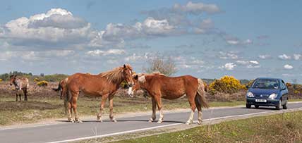
Sadly, 58 animals were killed - 35 ponies, 13 cows, 8 donkeys and 2 sheep, whilst a further 32 were injured - 3 pigs, 9 donkeys, 11 cows and 9 ponies.
(Forty-three accidents occurred in daylight, 15 at twilight and 101 in the dark. Twenty-seven accidents were not reported by the driver involved).
Here's just one horrific example - Three donkeys killed in collision with van at notorious New Forest blackspot (Advertiser and Times)